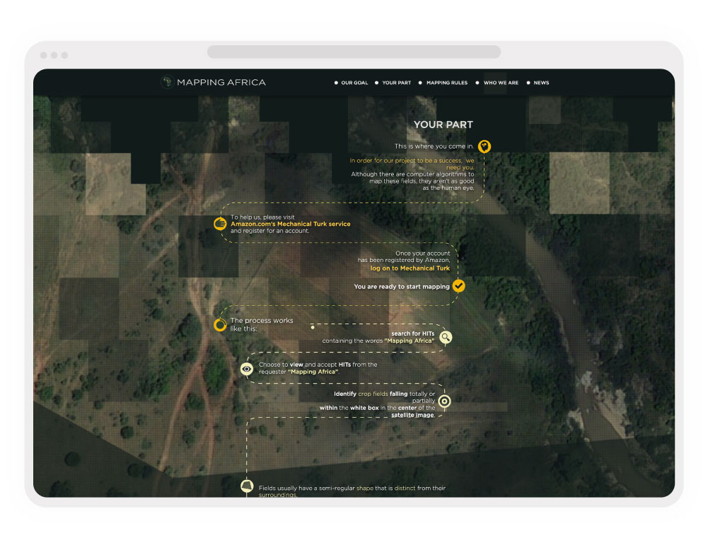
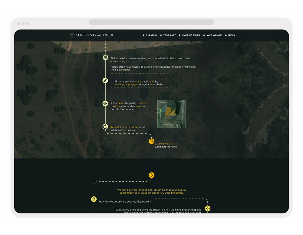
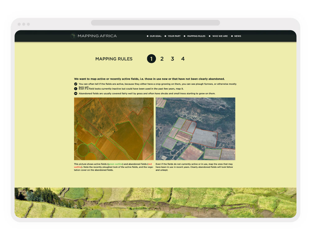
Led by researchers at Princeton University in 2015, the Mapping Africa Project was an ambitious initiative designed to map arable agricultural land across the African continent. Before advanced AI computer vision became the standard for satellite imagery analysis, the project relied on a global crowdsourcing model to identify, label, and quantify farmable land to support food security research.
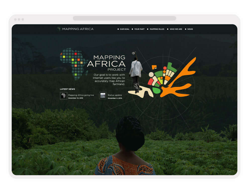
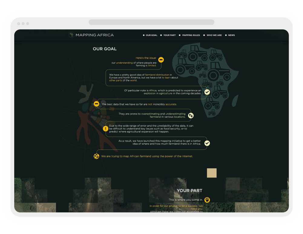
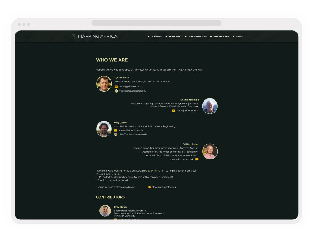
Our agency partnered with the Princeton team to establish the project’s brand identity and design a dynamic WordPress marketing platform. The site served as the central hub to educate the public, recruit crowdsourced volunteers, and showcase the ongoing impact of their geospatial data collection.